New Drone, Better Accuracy.
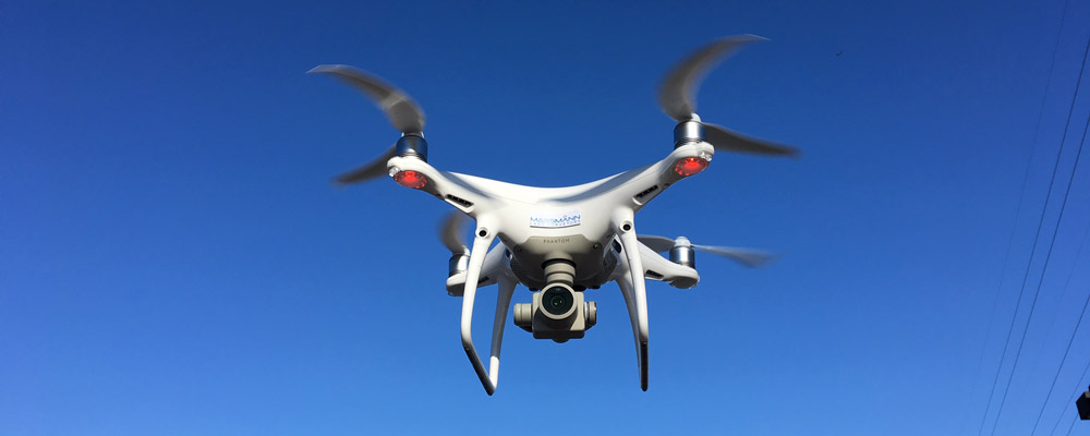
Massmann Land Surveyors continues to upgrade its technology and equipment. Our new Phantom 4 Pro V2.0 drone features a mechanical shutter that limits distortion and improves mapping accuracy. Drone surveys (whether for ALTA/NSPS Land Title Surveys or Boundary and Topographic Surveys for civil/site engineering projects) differ on the best possible imagery. Better imagery leads to better efficiency and better deliverables to help meet client deadlines.